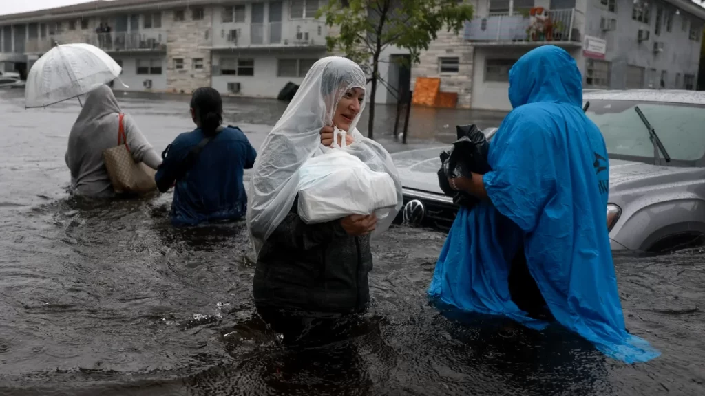
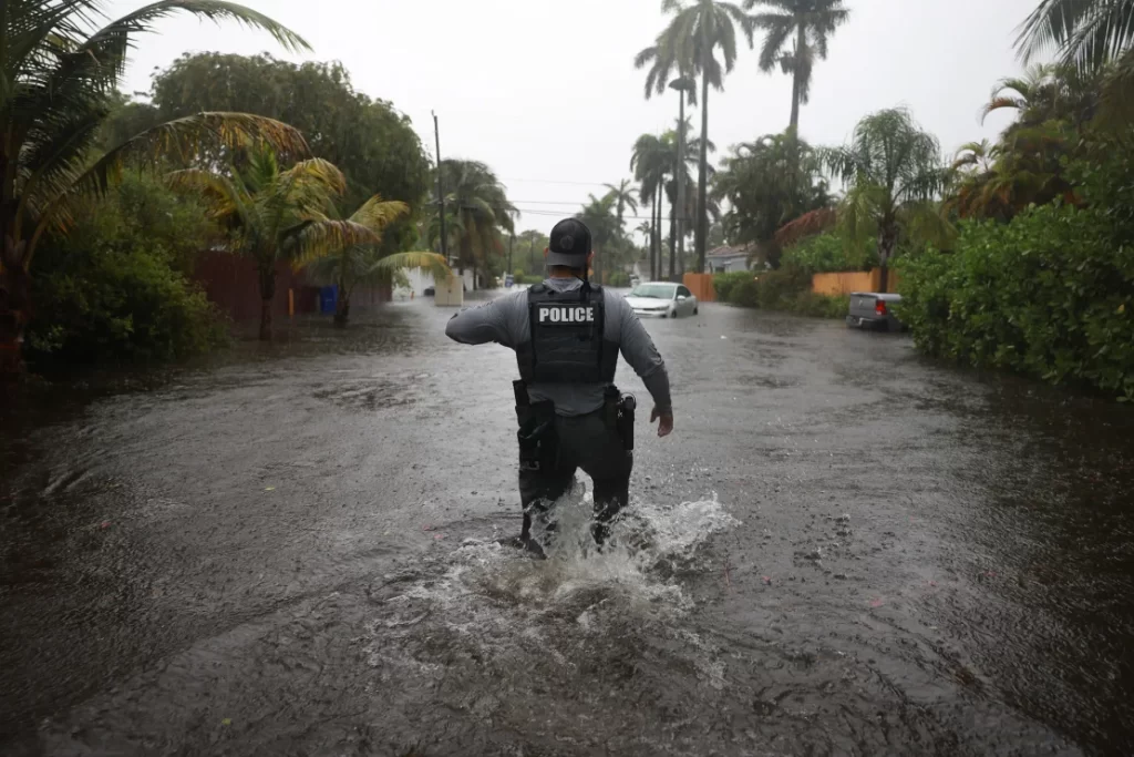
South Florida is facing the threat of more destructive flooding as heavy rainfall continues to batter the region for a third consecutive day on Thursday. The storms have already transformed roads into canals and seeped into homes, prompting Florida Governor Ron DeSantis to declare an emergency for Broward, Collier, Lee, Miami-Dade, and Sarasota counties.
Flood warnings remain in place for cities such as Fort Lauderdale, Miami, and Naples until Thursday morning, with some areas having already received between 4 and 13 inches of rainfall on Wednesday. An additional 2 inches of rain is possible in the affected areas. Flood watches are also in effect through Friday evening across Southern Florida, where more rounds of heavy rainfall are expected.

The severe flooding has caused significant disruptions to critical infrastructure, including major interstates, roadways, schools, and airports. In Hallandale Beach, floodwaters submerged cars up to their windshields, forcing some drivers to abandon their vehicles and wade to safety. A family even briefly lost their young son during the storm but were later reunited with the help of police.
Residents like Kait Madrigal found themselves stuck in their cars for hours as floodwaters surrounded them. Local officials have warned against attempting to drive through murky floodwaters and are urging storm-weary South Floridians to stay home, as most flood-related drownings occur when cars unknowingly drive into deep water.

Fort Lauderdale, where the mayor declared a local state of emergency, received more than a month’s worth of rain on Wednesday, with 9.58 inches – surpassing its average June rainfall of 9.55 inches. The severe storms have also led to the postponement of the demolition of the Marjory Stoneman Douglas High School building, where a tragic shooting occurred in 2018.
Many South Florida residents had only recently finished repairing their homes after catastrophic flooding in April 2023, only to find water lapping at their doorsteps once again. As the flood risk grows by the day, parts of the state are likely to see double-digit rainfall totals, with the southwestern Gulf Coast of the state, from Sarasota to Everglades National Park, expected to receive 10 inches or more.
The heavy rain events are being fueled by a firehose of tropical moisture from parts of the Caribbean funneling straight into South Florida along a front draped over the state. This moisture typically pools over parts of the Caribbean Sea and the southern Gulf of Mexico at this point in the season, forming the Central American gyre—a large, disorganized area of showers and thunderstorms that rotates over Central America and its surrounding waters.
While the rain will be beneficial to areas suffering through drought, the frequent surges of deep, tropical moisture and the direct impact of tropical systems send rainfall totals skyrocketing during the summer months in Florida. As the state braces for more destructive flooding, residents are urged to stay vigilant and take necessary precautions to ensure their safety.
Credit: CNN


